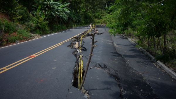
ALBAWABA - An 7.1-magnitude earthquake rattled the Kermadec Islands region in New Zealand, the U.S. Geological Survey (USGS) predicted said.
No tsunami warnings were issued and there were no immediate reports on casualties or damage.
The tremor struck the region, about 1,000 kilometers northeast of New Zealand’s North Island, at a depth of 10 kilometers on Thursday, according to Geoscience Australia.
A magnitude 7.1 earthquake struck in Kermadec Islands region, located north of New Zealand https://t.co/8CXTAuhuoh
— Bloomberg (@business) March 16, 2023
Reports in the New Zealand media suggest issuance of relevant rescue measures in the region.
The National Emergency Management Agency (Nema) and the Bureau of Meteorology confirmed there was no tsunami threat to mainland New Zealand and Australia.
Initially, Geoscience Australia reported that quake measured 6.8 on the Richter scale, but quickly upgraded it to 7.1.
BREAKING ?? : 7.1 magnitude #earthquake hits Kermadec Islands, New Zealand pic.twitter.com/eVb6oaWdaS
— Zaid Ahmd (@realzaidzayn) March 16, 2023
Where is the Kermadec Islands?
The Kermadec Islands are a subtropical island arc in the South Pacific Ocean 800–1,000 kilometers (500–620 miles) northeast of New Zealand's North Island, and a similar distance southwest of Tonga. The islands are part of New Zealand.
New Zealand is located on the boundary of two of the world’s major tectonic plates – the Pacific Plate and the Australian Plate.
Every year, thousands of earthquakes rock New Zealand.


