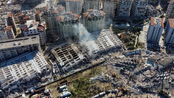
ALBAWABA - While everyone is focusing on rescue operations and the death toll from the strong earthquake that jolted southern Turkey and Syria, geologists noted that Turkey's location has changed due to the quake.
A 7.8-magnitude earthquake stroke Turkey and Syria early Monday morning leaving over 11,700 people killed and dozens of thousands of others injured.
Experts said that the deadly quake moved Turkey by three meters to the west, and caused a massive change in the tectonic plates on which Turkey "sits" or is located, media reported.
Tectonic plates moved 3 meters. "It's as if Turkey moved southwest," Carlo Doglioni, president of Italy's National Institute of Geophysics & Volcanology, said. The total size of the fault is at least 150 kilometres long. "Everything happened in a few tens of seconds." pic.twitter.com/wU5KJTiA4o
— Mike (@Doranimated) February 7, 2023
Carlo Doglioni stated that due to the earthquake, Turkey could have slipped and moved as much as five to six metres. He added that satellites data will provide more information in the upcoming days.
The president of Italy's National Institute of Geophysics and Volcanology (INGV), told Corriere della Sera newspaper, "It is as if Turkey had moved southwest."
He maintained: "The fault was activated for at least 150 kilometers with a displacement of even more than three metres. It all happened in a few tens of seconds, radiating this earthquake with a magnitude of 7.8,-7.9, an earthquake that is called major."
According to some sources, the geological movement range between 2 to 3 millimeters per year, occasionally. However, strong earthquakes can change the movement from 3 to 30 centimeters.


